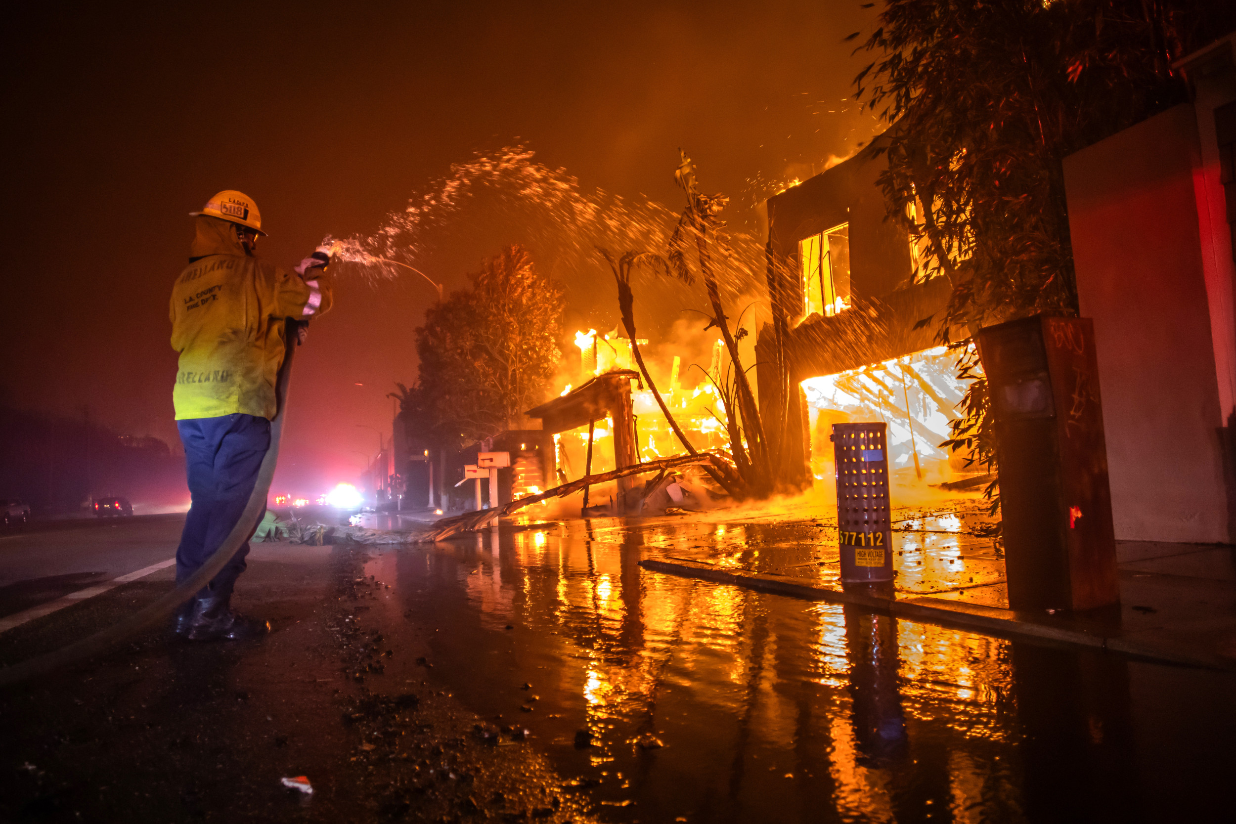
Unveiling the Hidden Threat: Where Are the Fires? Interactive Map Reveals Burning Zones
The world is witnessing a alarming rise in wildfires, and the consequences are far-reaching. From devastating destruction of properties to loss of precious lives, the impact of these blazing infernos is simply unprecedented. With the increase in frequency and severity of wildfires, it's becoming increasingly difficult to pinpoint the exact locations of these burning zones. However, an innovative interactive map has emerged as a game-changer in this regard. This cutting-edge tool provides a real-time view of the burning zones, enabling users to navigate through the affected areas and get an in-depth understanding of the current situation.
The interactive map, which can be accessed online, features a dynamic interface that displays the locations of active wildfires in real-time. Utilizing satellite imagery and cutting-edge technology, the map provides a detailed breakdown of the affected areas, including the extent of the damage, the type of vegetation being burned, and the number of people evacuated. This comprehensive information allows users to track the progression of the fires, identify hotspots, and receive updates on the situation.
One of the primary benefits of the interactive map is its ability to provide a bird's-eye view of the situation. By zooming in and out of the map, users can see the scope of the damage and identify areas that require immediate attention. This feature is particularly useful for emergency responders, who can use the map to plan their response and prioritize their efforts. For the general public, the map serves as a valuable resource, allowing them to stay informed and plan their daily activities accordingly.
The Science Behind the Map
So, how does the interactive map come up with its information? The answer lies in a combination of satellite imaging and machine learning algorithms. The map utilizes high-resolution satellite images to capture the affected areas, which are then analyzed by machine learning algorithms to identify patterns and trends. These algorithms can detect changes in vegetation, temperature, and other environmental factors that indicate the presence of a fire.
The machine learning algorithms are trained on a vast dataset of historical fire patterns, allowing them to recognize the characteristics of different types of wildfires. This enables the map to provide accurate and up-to-date information on the locations and severity of the fires. Furthermore, the map's algorithms can detect anomalies and identify areas that require further investigation, ensuring that the information provided is as accurate and reliable as possible.
Using the Interactive Map
For those looking to use the interactive map, the process is straightforward. Simply access the map online, and you'll be presented with a dynamic interface that allows you to explore the affected areas. You can zoom in and out of the map to see the scope of the damage, identify hotspots, and receive updates on the situation.
Some of the key features of the interactive map include:
- Real-time updates: The map provides real-time information on the locations and severity of the fires, ensuring that users have access to the most up-to-date information.
- Satellite imagery: The map utilizes high-resolution satellite images to capture the affected areas, providing a detailed breakdown of the damage.
- Machine learning algorithms: The map's algorithms can detect changes in vegetation, temperature, and other environmental factors that indicate the presence of a fire.
- Anomaly detection: The map's algorithms can detect anomalies and identify areas that require further investigation, ensuring that the information provided is as accurate and reliable as possible.
The Impact of the Interactive Map
The interactive map has the potential to significantly impact the way we respond to wildfires. By providing real-time information on the locations and severity of the fires, the map enables emergency responders to plan their response and prioritize their efforts. This can lead to faster and more effective response times, reducing the risk of injury and property damage.
For the general public, the map serves as a valuable resource, allowing them to stay informed and plan their daily activities accordingly. By providing an up-to-date view of the situation, the map can help reduce the risk of accidents and injuries, as well as minimize the impact of the fires on daily life.
Future Developments
The interactive map is just the beginning, and future developments will likely build on its success. Some potential areas of development include:
- Integration with other emergency services: The map could be integrated with other emergency services, such as emergency dispatch systems and social media platforms, to provide a more comprehensive view of the situation.
- Real-time updates from multiple sources: The map could be updated in real-time with information from multiple sources, including emergency responders, satellite imaging, and social media platforms.
- Machine learning algorithms for predictive modeling: The map could utilize machine learning algorithms to predict the spread of wildfires, enabling emergency responders to take proactive measures to prevent damage.
Conclusion
The interactive map revolutionizing the way we respond to wildfires has the potential to significantly impact the way we plan and respond to emergency situations. By providing real-time information on the locations and severity of the fires, the map enables emergency responders to plan their response and prioritize their efforts. For the general public, the map serves as a valuable resource, allowing them to stay informed and plan their daily activities accordingly. As the technology continues to evolve, we can expect to see even more innovative solutions that improve our ability to respond to emergencies and protect our communities.
Keri Russell Kurt Russell
Keri Russell Related To Kurt Russell
Jackerman
Article Recommendations
- Janice Nichole Rivera
- Money6x
- Imoo Jung Husband
- Sabrina Carpenter Height And Weight
- Taylorwift Height And Weight
- Blockchain
- Matt Mccusker
- 2 Actorsied Yesterday
- Vontaeaviause Ofeath
- Mba


